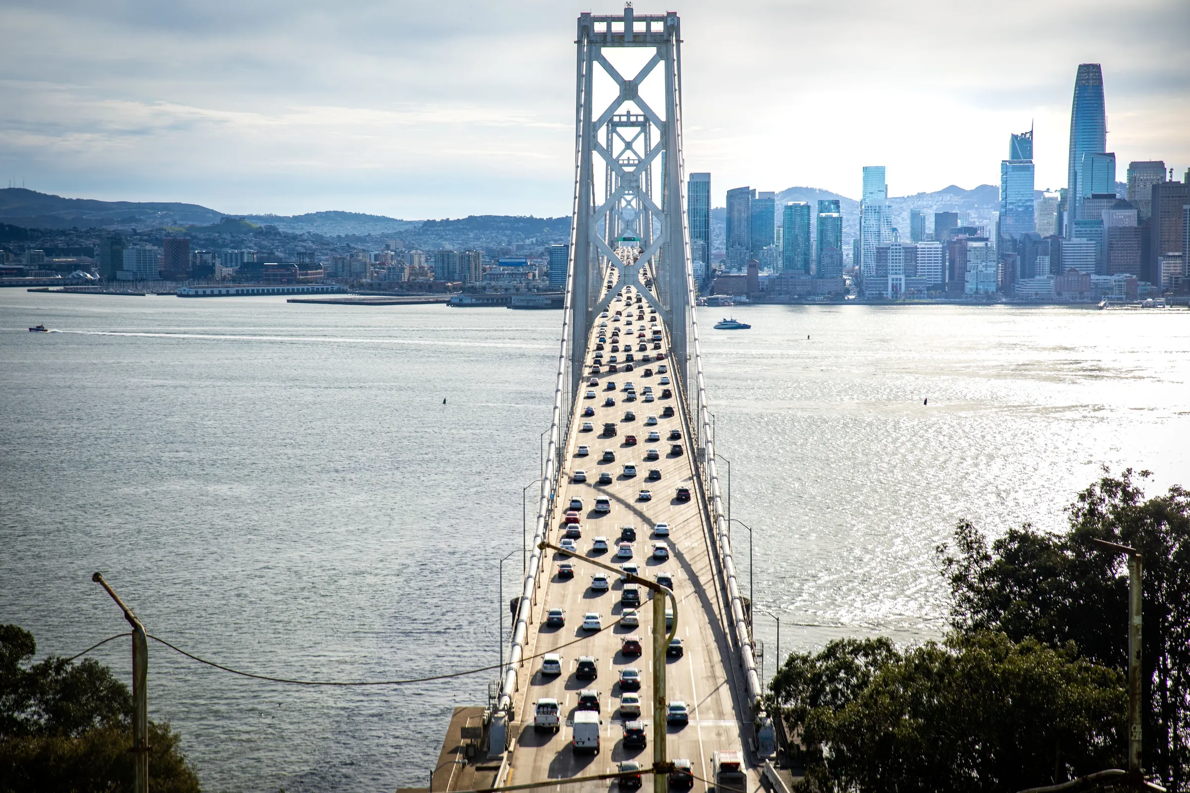
The Bay Bridge
The San Francisco-Oakland Bay Bridge is notable for its engineering and aesthetic appeal.
The San Francisco–Oakland Bay Bridge spans 8.4 miles between San Francisco and Oakland, completed in 1936 after construction started in 1933 alongside the Golden Gate Bridge. The Bay Bridge Trail offers bike and pedestrian access for elevated views, and the proposed 170-acre Gateway Park would add Oakland shoreline vantage points.
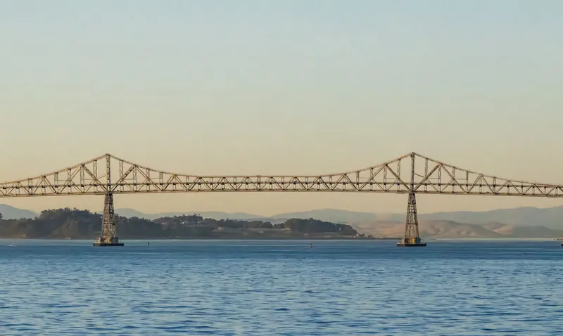
Bay Bridge Configuration Changes Over Time
Spanning from downtown San Francisco to Yerba Buena Island and continuing on to Emeryville, the Bay Bridge opened in 1936 with six lanes of automobile traffic arranged three in each direction on its top deck. By 1962 the span had been reworked into ten lanes of motorized traffic, five inbound on the top deck and five outbound on the bottom, replacing the original arrangement in which the lower deck had carried trucks alongside two sets of Key System passenger train rails. The new east span, scheduled to open in 2013, adds a bike-and-pedestrian path required by Caltrans, giving photographers on foot or by bike a vantage point that earlier visitors could only reach by car.
Best Photo Spots
Five waterfront photo spots around the Bay Bridge include an island, a park, pedestrian paths, and piers.
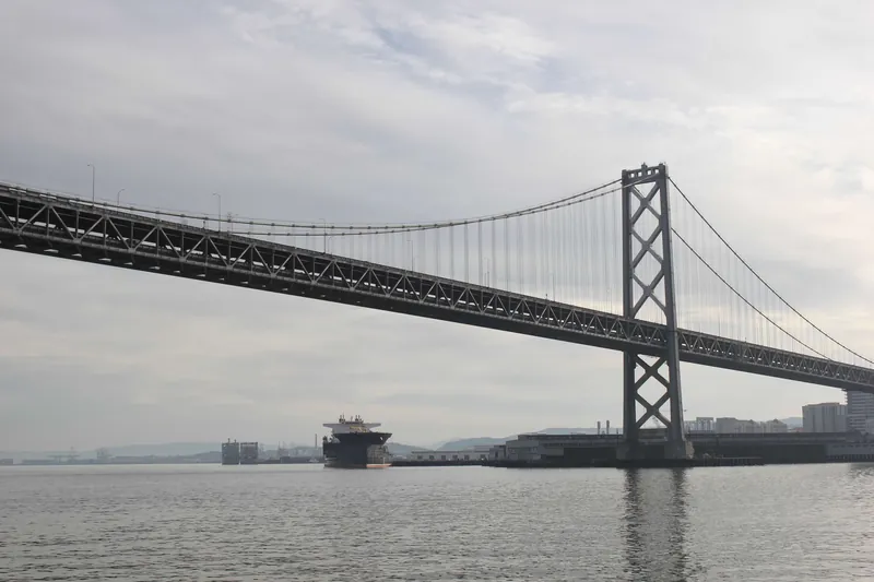
Yerba Buena Island
Photographs of This Location
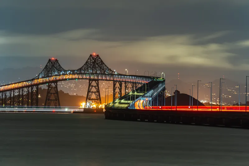
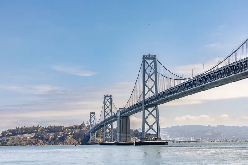
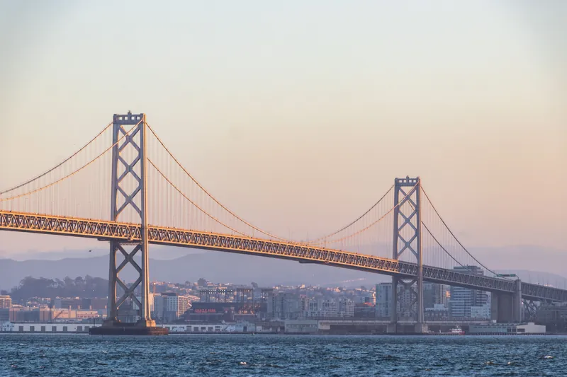
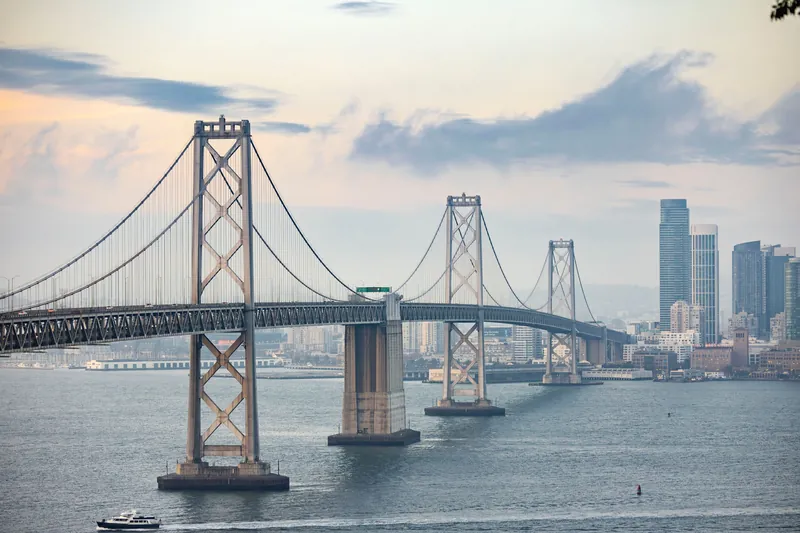
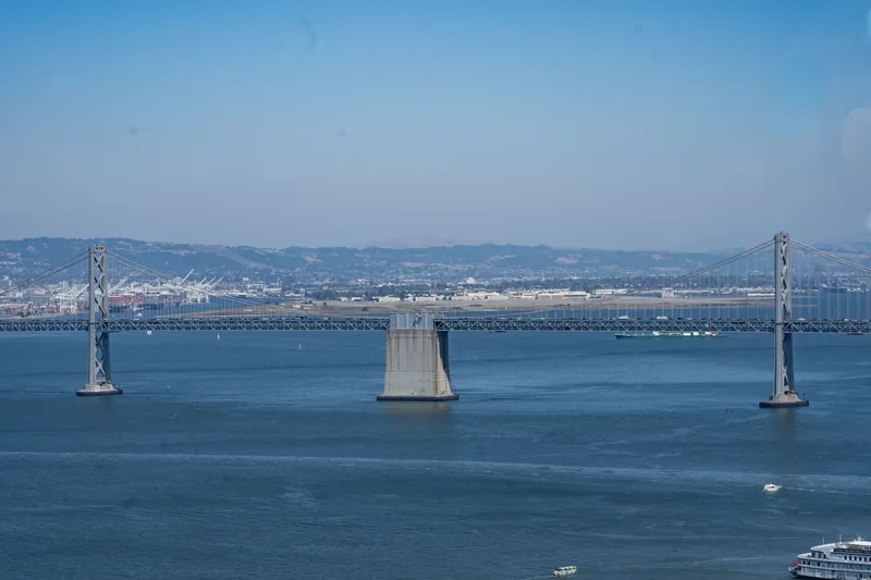
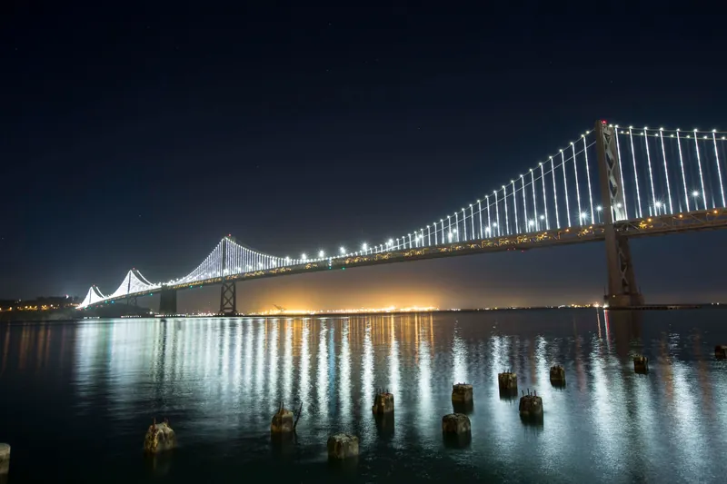
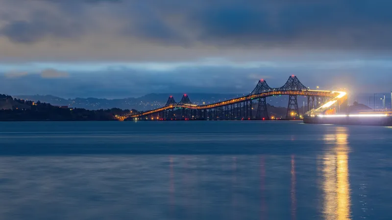
San Francisco–Oakland Bay Bridge Spans and History
The San Francisco–Oakland Bay Bridge stretches roughly 4.5 miles in a double-deck configuration that carries both vehicles and bicycles. The 1989 Loma Prieta earthquake collapsed a 50-foot section of the eastern span's upper deck, prompting the construction of a self-anchored single-tower suspension replacement that opened to traffic on September 2, 2013. Photographers can capture both the original and replacement spans from shoreline vantage points on either side of the crossing.
Common Questions
The Bay Bridge occasionally hosts special events and guided tours; the official Bay Bridge website has the latest information.
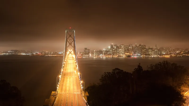
Bay Bridge Trail and Gateway Park
The Bay Bridge Trail opened on the eastern span of the Bay Bridge on May 2, running seven days a week for bicycle and pedestrian access between Oakland and San Francisco. Gateway Park, designed to highlight the bay's industry, infrastructure, and ecology, is planned as new parkland and a distinct entryway to the East Bay. The trail occupies the eastern span, while the park is set on the East Bay side of the bridge.
Practical Information
Interstate 80; BART; AC Transit; 2.2 miles, Oakland to Yerba Buena Island; Oakland to Treasure Island
Parking is available in nearby areas of the Bay Bridge but is limited.
24/7; 6:00 AM – 9:00 PM; 9pm (summer)
tolls for westbound traffic
The Bay Bridge bike path is controlled by a Caltrans gate and is not open 24 hours a day.
Tipps fürs Shooting
- Operating hours for the Bay Bridge bike path are posted on large, bright-orange signs along the Bay Bridge Trail.
- Consider using BART or AC Transit buses rather than driving to the Bay Bridge to avoid limited parking.
- Expect lots of people when photographing the Oakland Bay Bridge in San Francisco.
- Posted closing times on the Bay Bridge bike path are inconsistently enforced, with the gate sometimes locked early or left open well past hours.
- Driving over the Bay Bridge to Oakland offers a good introduction to the new eastern span construction.
Getting There
Access & Transit
- Barrierefrei
- The Bay Bridge is equipped with accessibility features including elevators, ramps, and accessible parking spaces.
- Fußläufig
- The Bay Bridge is accessible from the Embarcadero area of San Francisco.
- Fahrradfreundlich
- The bridge has bike lanes, making it a popular route for cyclists.